The Southern Section
Doesn't get any Higher
Cherokee to Asheville is the highest section of the 469 mile Parkway
- 27 miles sit at or above 5000'
- several miles at or above 5900'
- 2 overlooks sit above 6000'
- 9 overlooks sit above 5500'
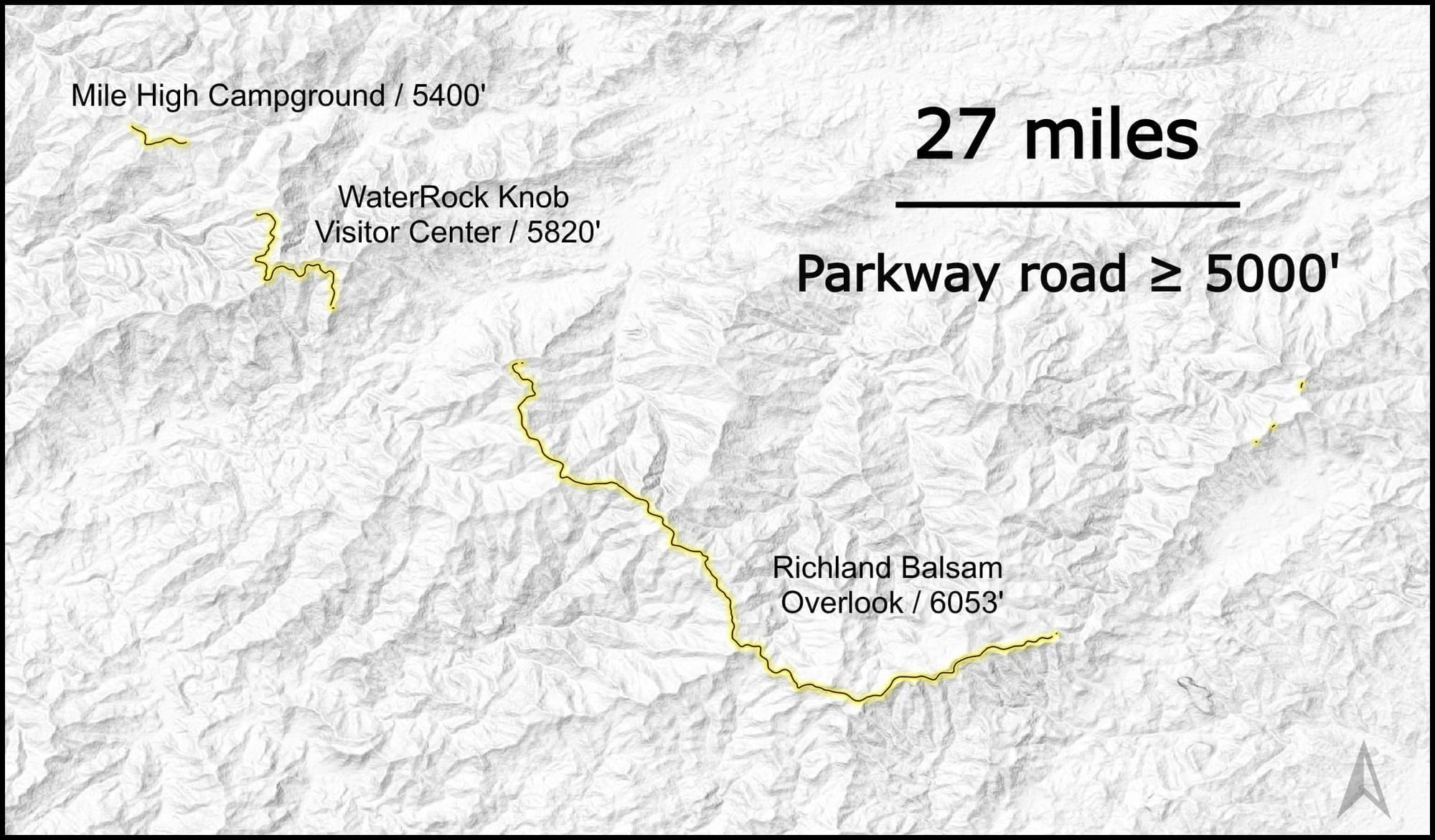
The 77 mile stretch traverses the Great Balsams, one of the highest ranges in the Eastern US, matching its neighbor the Great Smoky Mountains, with peaks ranging from 5800 - 6621'; just shy of the highest peak in the Eastern US.
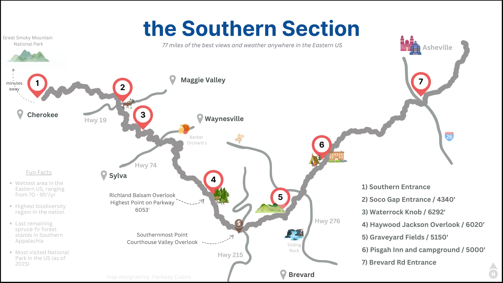
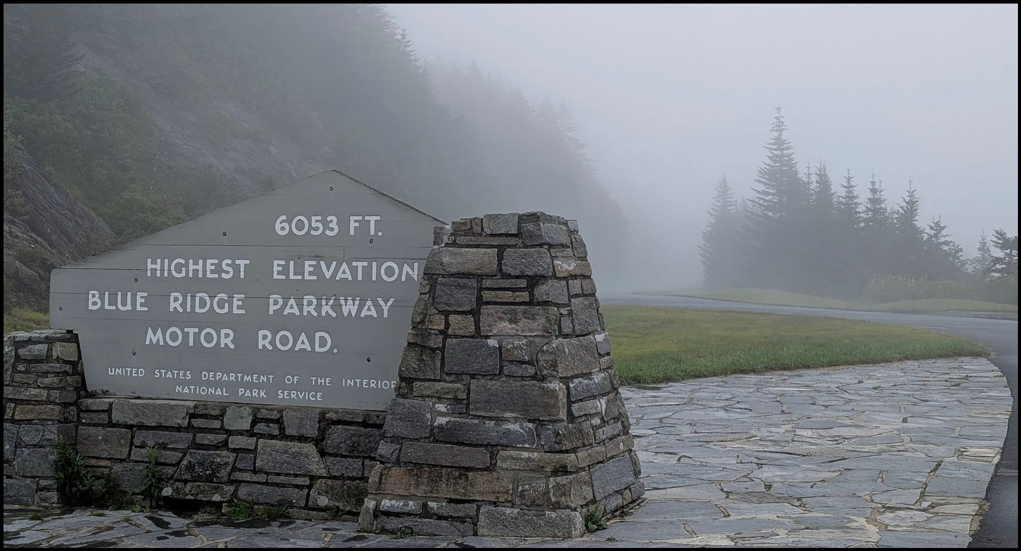
The road itself does not reach that high, peaking at Richland Balsam Overlook at 6053', the highest point on the Parkway.
With such heights comes extreme and unique weather patterns and subsequently, a diverse landscape of plants, wildlife, and terrain.
Graveyard Fields; 9/24/24 PRE
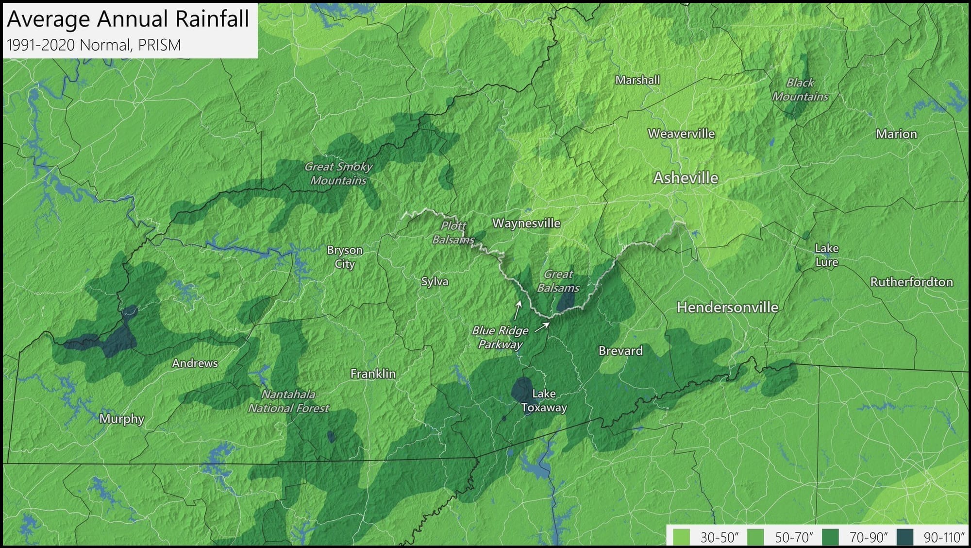
Highest Annual Rainfall
Annual precip ranges from 60 - 80" across most of the Parkway, with a few areas picking up 90 - 110" each year. These high amounts are due to the terrain which enhances storm development, fed from a dual moisture feed from the Gulf and Atlantic.
A common misconception is that it rains all the time. Instead of nickel-and-diming our way, we regularly pick up 0.5 - 2" totals from passing thunderstorms and short lived, moderate - heavy rain events.
view from Standing Rock Overlook
This steady feed of cloud cover and shower activity maintains a cooler environment across the higher elevations, alongside the drop in temps as you climb in elevation due to the dry/wet adiabatic lapse rate.
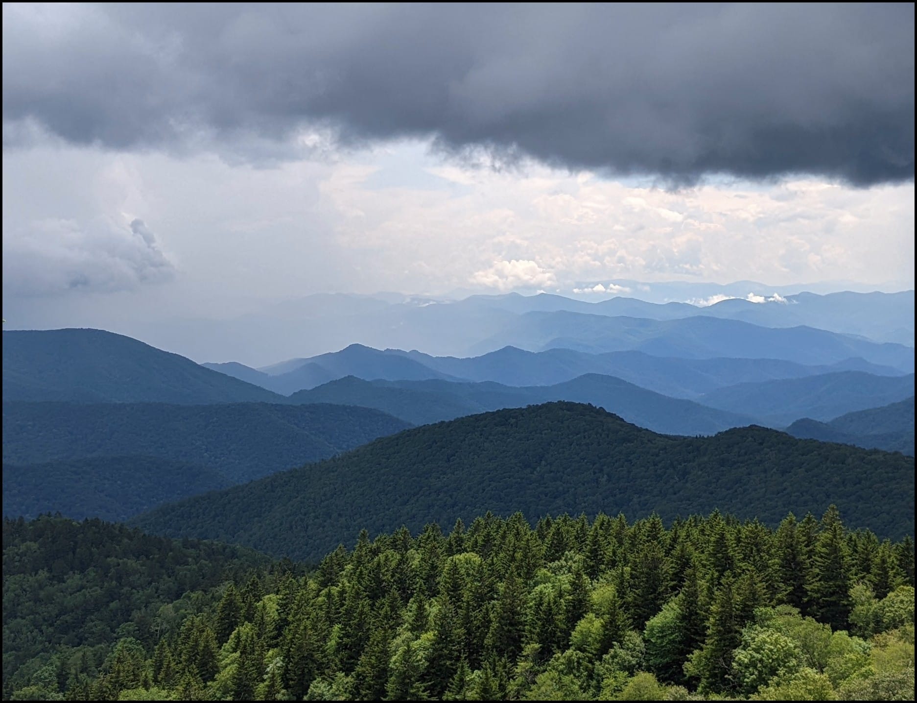
Elevations above 5000' typically stay in the 60's and 70's throughout the summer, with temps maxing out to the low 70's between 5800 - 6410'.
Four Seasons
All 469 miles of the Parkway offer four distinct and engaging seasons; below are a few of our favorite moments along the Southern Section.
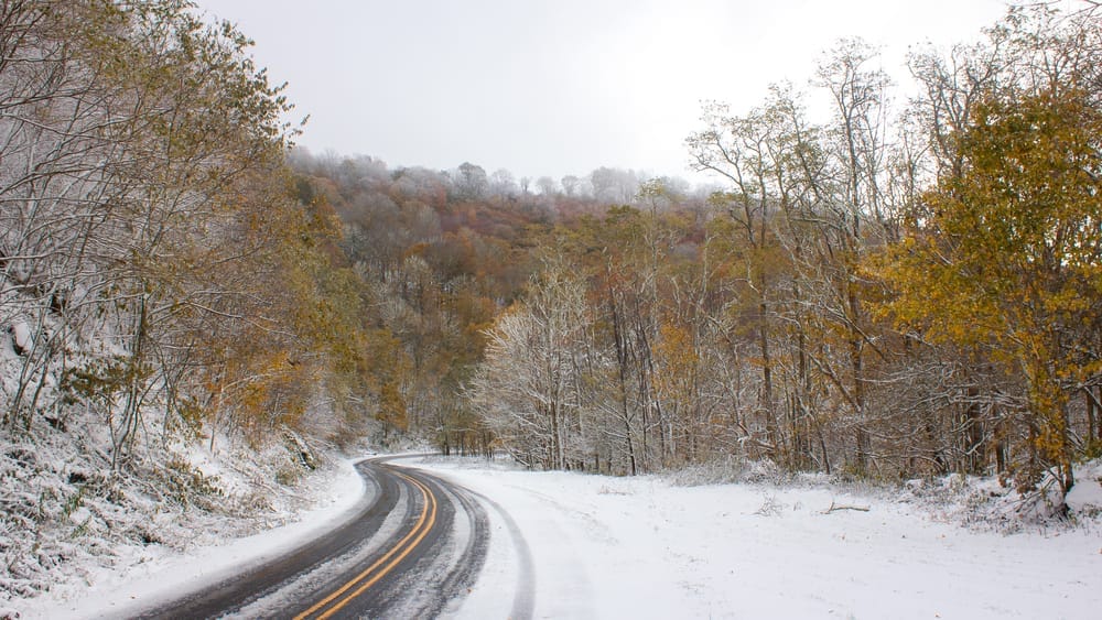
Winter
Spring
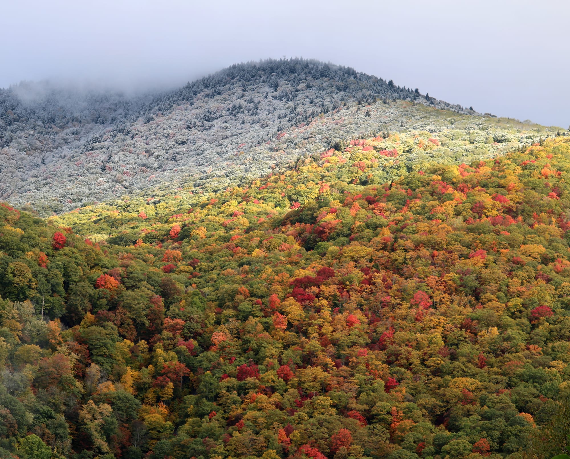
spring color last gasp / May 24th
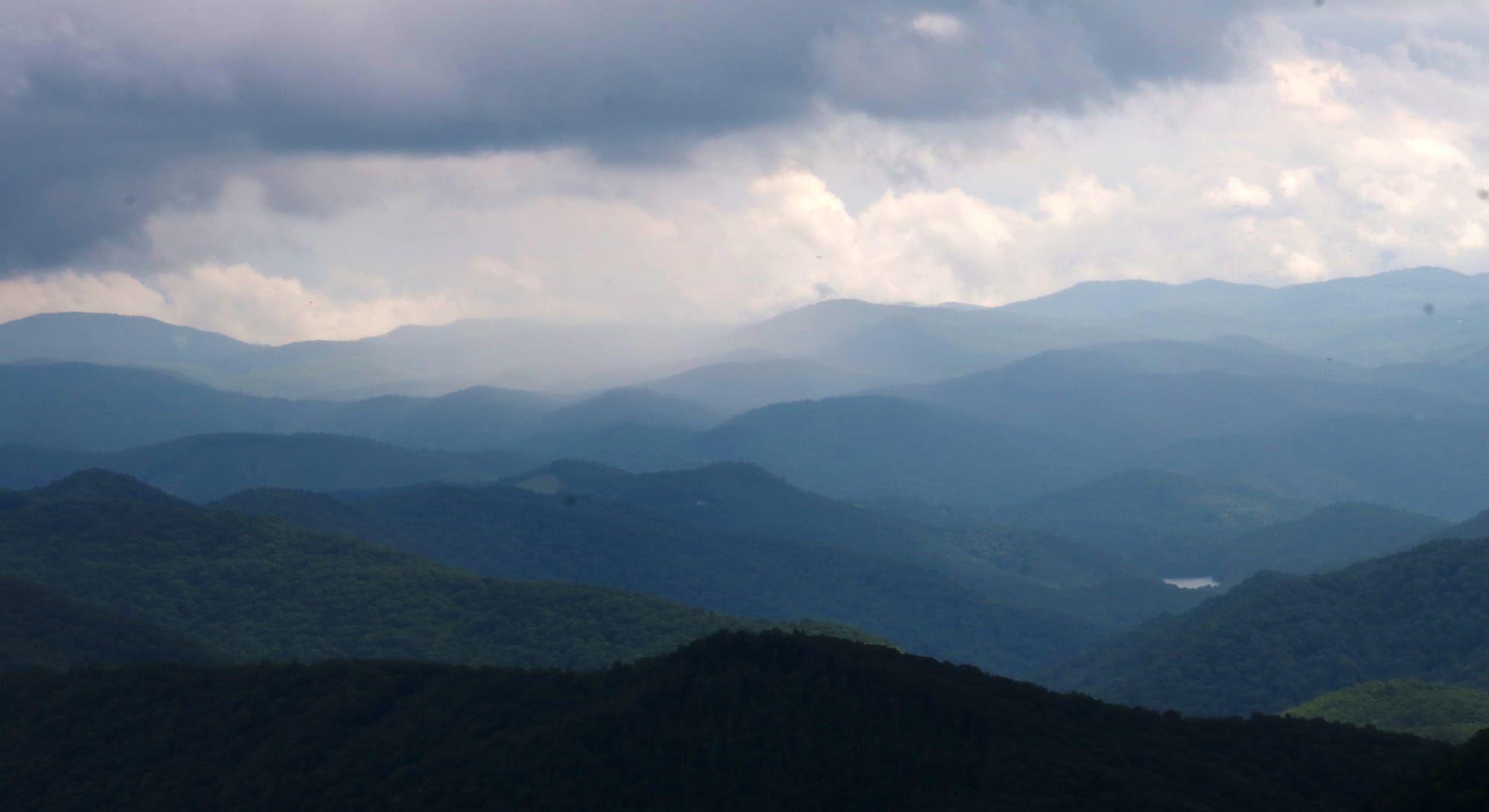
Summer
Fall
"Second Peak" perfection (Nov 2024)
Popular Overlooks
worth checking out
Haywood/Jackson / 6020'
Details: In the full sun at 6000', this overlook ranks as one of the best picnic tables with a view, competing with the few tables at Waterrock Knob Visitor Center. Behind this table is one of the largest overlooks along the Parkway and although popular, is rarely visited by folks staying for more than a minute or two, often pulling up for a picture of Cold Mountain or Mt Pisgah along the horizon and driving off. The fall colors are bright yellows and gold peaking by mid October (look down to the right into Sugar Cove for the best colors) and on cloudy days this spot will be socked-in (a bit disorienting when windy).
Directions Click Here / 40m - 1 hr from Asheville
Things To Do:
- Richland Balsam Nature Loop Trail: walk along the easy rated hike to Richland Balsam (6410'), which begins at this overlook. Winding through spruce-fir forest, one of the few remaining in the Southeast, you'll be assaulted by smells of moss and the holiday season. Shade is constant along this hike, with no view but it's worth the 1.5 mile hike to experience a true high elevation spruce-fir forest; never any hotter than mid 70's in July!
- Largest grassy area: If you want to throw or kick a ball this is your spot. Run around at one of the Parkways largest grassy areas at an overlook. We stop every time to stretch our legs or lounge in the sun.
- Down the road (1/2 mile) from Richland Balsam Overlook, the highest point on the Blue Ridge Parkway at 6053'
Pounding Mill Overlook @ 4700'
a three season slider
Details: The overlook itself is fairly small and has a not so fun angle to turn out of, but it provides one of the best views of Frying Pan Tower and the Pisgah Inn. Looking to the right you oversee Pink Beds; another reason to stop by on the way to Mt Pisgah.
Directions; Click Here / about 40 minutes from Asheville